
Hello all,
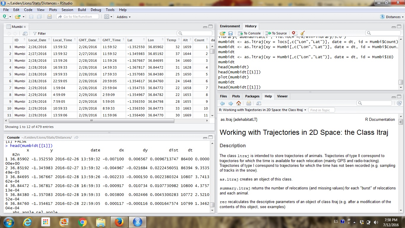
I need to measure distances between sequential points of GPS collar data which are in decimal degrees (lat/lon). I have successfully created a distance measurement through the package adehabitatLT in R, however, these measurements make no biological sense as they are the changes in decimal latitudes. I would like to change that into meters, but I don't know why. Previous papers on adehabitat show people using metric distances, but no explanation in the methods that I have found so far.
Any help to measure distances would be appreciated, either in R or in ArcGIS.
Cheers,
Maria.
14 July 2016 11:53am
Figured it out.
Even though I was in the right projection (ie: UTM), I was not aware that I had to calculate the coordinates myself. All you need to do is create two new columns for X and Y coordinates, and right click in each column: choose calculate geometry, and then select X and Y according to the column you're at. It calculates the coordinates in your chosen unit (mine is meters). The "new" coordinates can be used then in adehabitatLT to obtain distance measurements in a trajectory.

Maria Gatta