
Technology for Wildlife Foundation
Hi
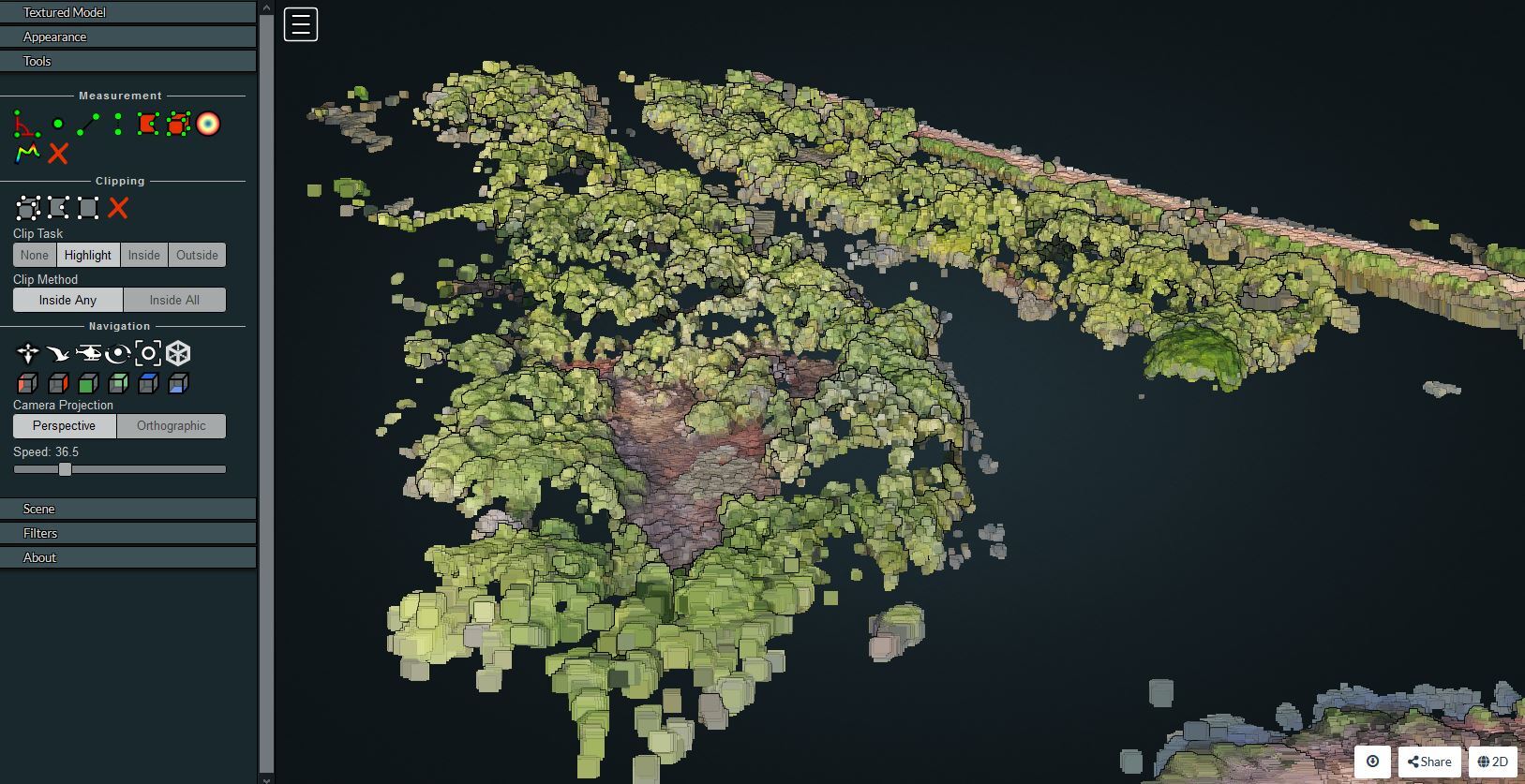
We've been using UAVs to create 3d models and estimate volume of mangrove patches. We're working on assessing carbon storage from these models. Has anyone worked on estimating carbon through volumetric assessments or something similar?
Thank you!
Nandini
26 June 2020 8:10am
Hello Nandini. I did something similar mapping carbon stocks of subsurface peat reserves in upland habitats in the UK. It was pretty basic though. Modelled the 3D volume of peat from uav, field survey, geostatistical analysis and 3D modelling techniques. They simply calculated the carbon stock through the volume present.


Mark Brown