
Fauna & Flora
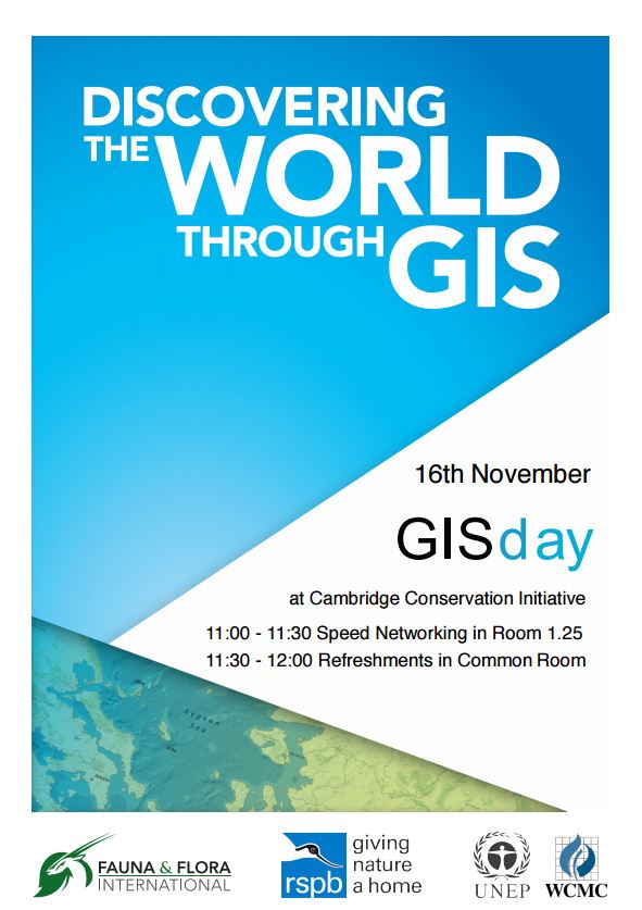
Do you use GIS? Are you interested in meeting GIS professionals at CCI? Would you like to know more about how GIS can help you achieve your conservation goals? To celebrate International GIS Day, there will be a speed networking session from 11:00 – 11:30 followed by biscuits and cake served in the common room from 11:30 – 12:00.
Time: 11:00 – 12:00 November 16th
Location: Seminar Room 1.25, David Attenborough Building, Cambridge
 gis_poster.pdf
15 November 2016 8:57am
Thanks for sharing this, Jonty. Really looking forward to meeting the GIS community at CCI tomorrow. Everyone at CCI with mapping inclinations should be there or be a Peirce quincuncial projection!


16 November 2016 12:03pm
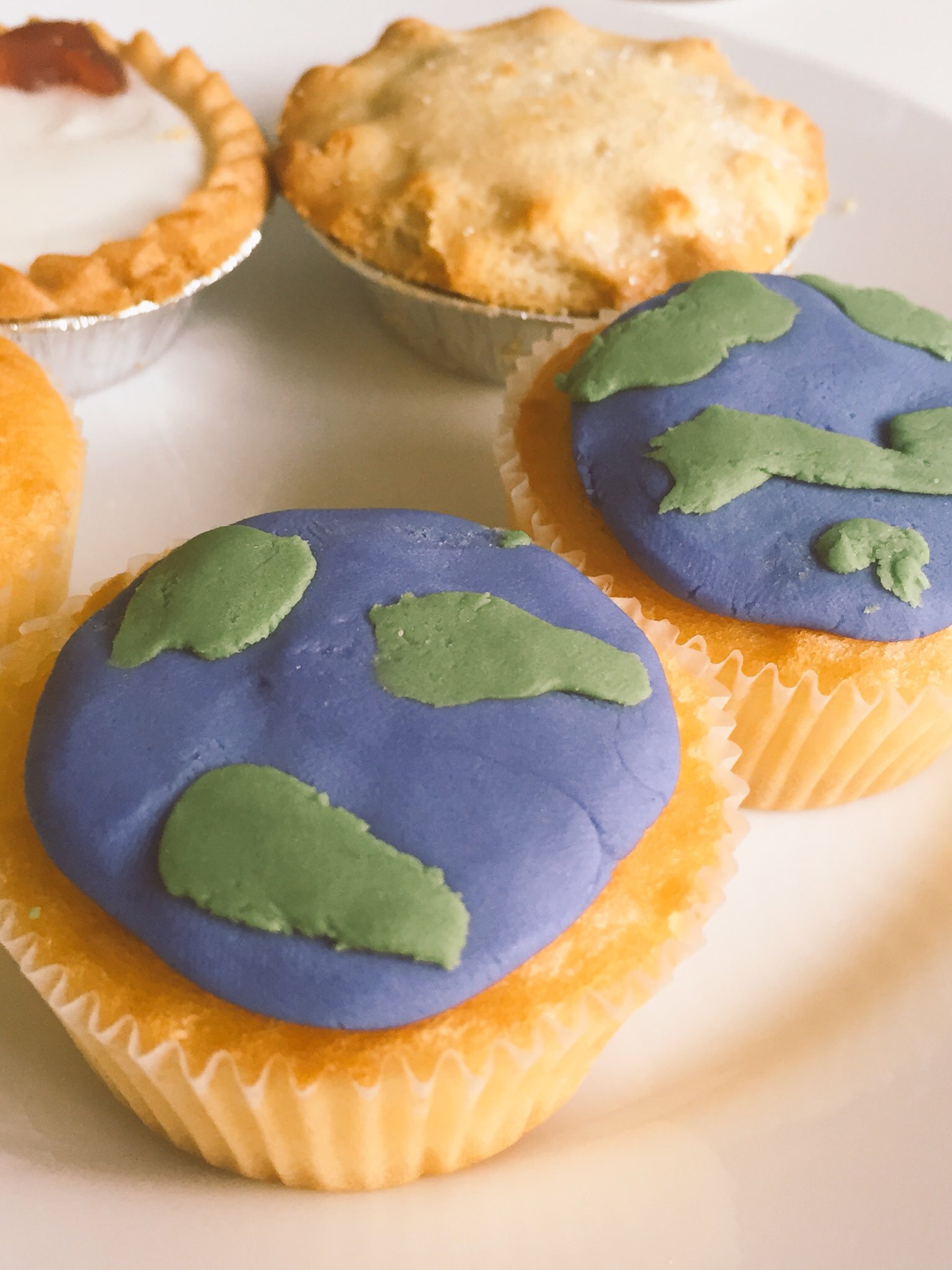
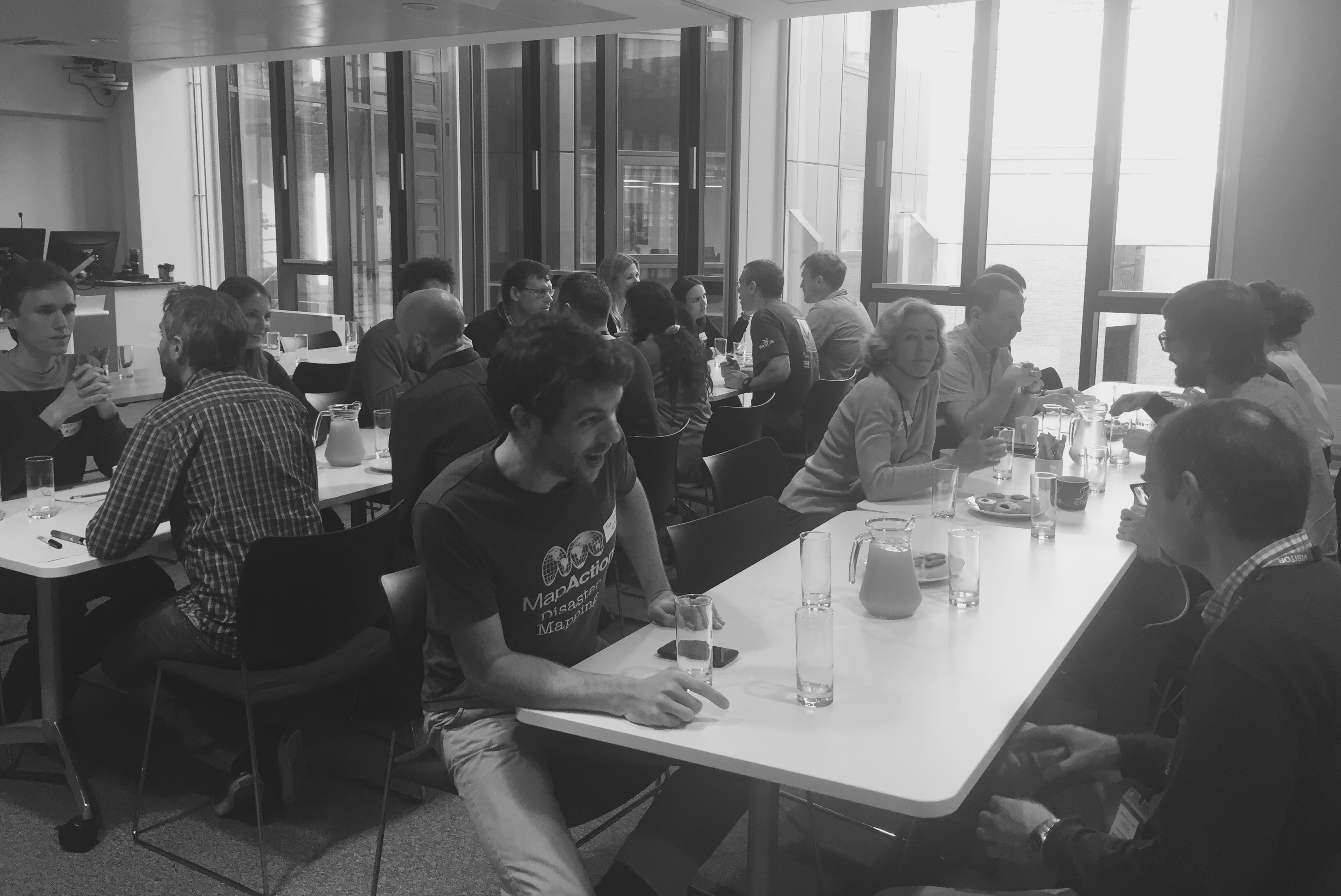
The CCI celebrations of GIS day are off to a great start. Fantastic cupcakes and lots of enthusiastic speed networking!


8 December 2016 5:58pm
CCI International GIS Day recap
GIS Day at CCI was a great success! We kept it short to try and maximise engagement and so that everyone could meet each other. Attendees have been sent a follow-up email, but if you've not received this or you want to know more then please message me for details.
It would be a great mini-legacy and a testament to the event if attendees could post a brief introduction / recap on this thread; just stating your occupation and interests, or anything that you took away from the event. Thanks to the organising committee @jonathanknox.ffi (FFI), @Tomswinfield (RSPB) and Andy Arnell (UNEP-WCMC). And thanks for the photos, @StephODonnell !


5 January 2017 9:35am
I'm a software developer with the British Trust for Ornithology (BTO), working on online map-based applications for bird surveys (e.g. BirdTrack). My main focus is the databases (Oracle & Postgres, including spatial features) and preparing the GIS data using ArcGIS or QGIS. Our online applications are key to receiving survey data from a large number of volunteers and displaying the survey results back to the volunteers.
I also act as central contact point within the BTO for queries about GIS.
Thomas Starnes
International Union for the Conservation of Nature (IUCN)